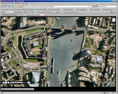
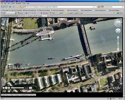
Here is a virtual helicopter flight of the London aerial tour created with the automatic tour facility in Google Earth. It is very easy to create and is well worth the effort as here we are able to show our exact route over London, and flying over Googles 3D photo realistic buildings looks great.
Virtual helicopter flight over London
There are a few ways you can do it, so we will just explain what we did. First open Google Earth, you will need version 5+ We had GPS coordinates from all the locations where the aerial panoramas were taken, so entered these as placemarks on Google Earth, by clicking ‘add’ from the top menu and then ‘placemarks’. Once you have geolocated all your placemarks, click ‘add’ then the ‘path’ tool, you can click as many times on the map and create a path line joining up all your placemarks. Save the path, you should now notice it in your ‘temporary places’ in the left hand sidebar. Make sure the path is selected and in the top menu options, look for the ‘record tour’ icon.
Click this and this will set up the record button in the bottom left of the screen. Click the red record button, and then click the play tour icon, from the left hand sidebar.
Your tour will now play along the path you have drawn, when it is finished, click the record button again and notice on the tour controller there is a save icon, clicking this will let you name and save your tour, which again will appear in your ‘temporary places’. Right click on your tour, and you can save it permanently to your ‘places’, clicking ‘Save place as’ will allow you to save as a KMZ or KML file you can email to anybody or even place in a Google Earth API web browser as our example shows.
There are lots options you can set for your tour, like altitude, speed, even pauses to display info windows. These options are found under ‘tools’ – ‘options’ and then clicking the ‘touring’ tab.


